Outer Banks Fishing Map
Fishing the Outer Banks in North Carolina can be very productive. It all starts with having plenty of good Fishing Spots using the Outer Banks Fishing Map or using GPS Coordinates you already have, combined with our Fishing Map.
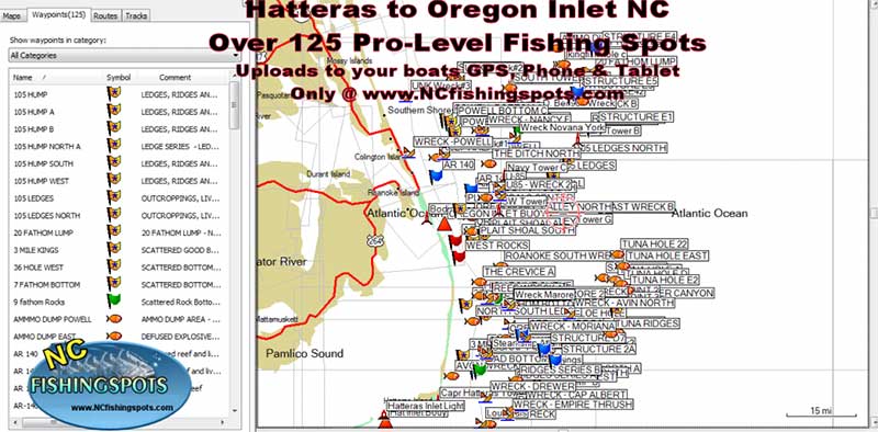
We offer some of the top Outer Banks Fishing Spots off the for Fishing from Hatteras NC from some of the best in the fishing business. Our Outer Banks Fishing Maps and Fishing Spots will load to your boats GPS and your Phone or Tablet. See what comes with the Outer Banks Fishing Map here and how it all works here.
See a GPS Screenshot of the Outer Banks Fishing Spots loaded to a GPS using an SD Card. Our specially designed Fishing Map file loads to most any Marine GPS using your SD Card. If your boats GPS accepts an SD card you will not need to manually enter GPS Coordinates to your North Carolina Fishing Spots. In just a few clicks, you can have all your new fishing spots transferred to your GPS, Phone, Tablet and Computer.
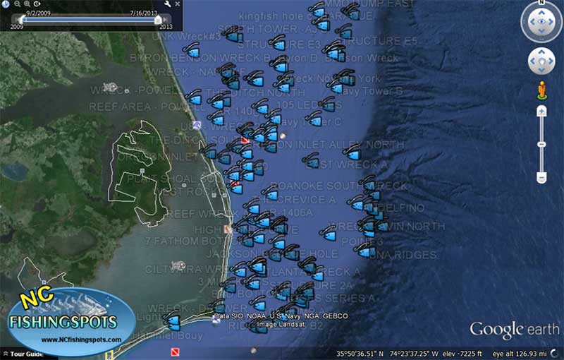
Outer Banks Google Earth Fishing Map – A Google Earth Fishing Map of the Outer Banks of North Carolina. Finally, the perfect solution for your boats GPS, Phone and Tablet using Google Earth as a Fishing GPS or Google Maps as a Fishing GPS and Fishing Map.
See all the purchase information for the Outer Banks Fishing Map
Thank you for browsing North Carolina Fishing Maps and Fishing Spots. We are Number One in the Digital Fishing Spots for over 6 years running thanks to our loyal Customers and Pro Fishermen. Contact us about any details at: gpsfishingmaps@gmail.com


